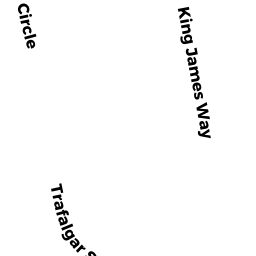
15 TRAFALGAR SQ
Owner Information
WINBOURNE CHRISTOPHER J
15 TRAFALGAR SQ
WRENTHAM, MA 02093


Property Details
15 TRAFALGAR SQ is classified as a Single Family Residential (Gambrel).
The primary structure on this property was built in 1973. There are 2,744ft2 of built area within this property. There is 1,632ft2 of residential/living space within this property. This property is listed as having 7 rooms.
15 TRAFALGAR SQ is valued at $386,000. The land is valued at $217,800 and the structures are valued at $167,700. There is an additional valuation of $500 on this property.
This property is in Zone 01. Confirm with local Zoning Board authorities to ensure there are no overlays or other easements on this property.
The most recent deed for 15 TRAFALGAR SQ is recorded at the local registrar in Book 14094, Page 583. 15 TRAFALGAR SQ was last sold on Monday, April 10, 2000 for $1.
Assessment data from fiscal year 2022.
Flood Data
According to the FEMA National Flood Hazard Layer, this property does not appear to be in a flood zone. It may also be in an area not yet reviewed. Nonetheless, confirm this information prior to taking any action.
To view the flood hazards around this property, create a FEMA "Firmette" Map of the area around 15 TRAFALGAR SQ.
Broadband Internet Providers
| Provider | Type | Bandwidth (mbps) | |
|---|---|---|---|
| Crown Castle Fiber | Fiber | 0 | 0 |
| HughesNet | Satellite | 25 | 3 |
| GCI Communication Corp. | Satellite | 0 | 0 |
| Comcast | Cable | 1000 | 35 |
| Verizon New England Inc. | Fiber | 940 | 880 |
| Verizon New England Inc. | DSL | 15 | 1 |
| Viasat Inc | Satellite | 100 | 3 |
| VSAT Systems, LLC. | Satellite | 2 | 1 |
Broadband service provider data from December 2020.
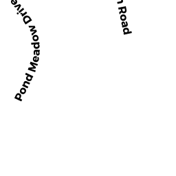
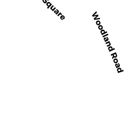
Adjacent Properties
- 70 HAMILTON RD
Single Family Residential owned by HUSSEY TIMOTHY - 25 TRAFALGAR SQ
Single Family Residential owned by ZAGRODNY KAREN M TRUSTEE - 74 WOODLAND RD
Single Family Residential owned by GETMAN LIAM - 62 WOODLAND RD
Single Family Residential owned by DEPILLO DANIEL RYAN - 80 WOODLAND RD
Single Family Residential owned by COLLINS WILLIAM P - 86 WOODLAND RD
Single Family Residential owned by KELLY GERALD F - 62 HAMILTON RD
Single Family Residential owned by FIGUEROA JASON - 54 HAMILTON RD
Single Family Residential owned by BOTAISH JOSEPH F II